3D Nautical Charts & Maps
Landfall Topographic Models
bespoke | handmade | artwork
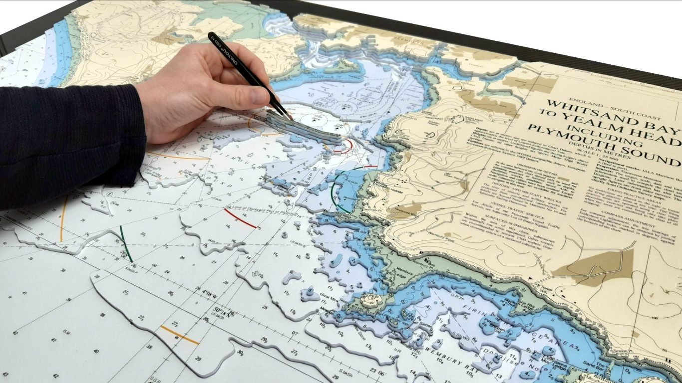
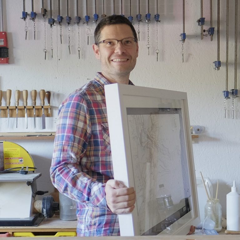
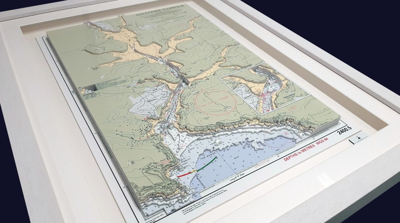
3D nautical charts, OS Maps and Landscapes - Using nautical charts, OS maps or aerial photographs I create intricate 3D topographical relief models of our scenic coastline and countryside. Capturing each feature in perfect detail, every model is bespoke and meticulously crafted by hand. I am able to replicate any section of the UK and beyond to create a truly personal gift. Supplied in a high quality professionally made frame, these models make the perfect memento. No specialist knowledge is required to commission a model, simply tell me your area of interest and I will prepare a written quotation. I am based within the Blackdown Hills, Devon, UK - but I can supply to any destination.
"4 years on and I still stare at my chart of Falmouth amazed at what you do and how you do it! Thanks again"

Commissions
Commissioning a bespoke 3D nautical chart or map can be a highly enjoyable process. I will use my experience to guide you through each step. No specialist knowledge is required, simply complete my enquiry form and I will then prepare a written quotation clearly outlining the various options. I aim to respond to all enquiries within 24 hours of you submitting a request.

My Work
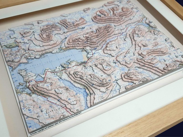

Since 2013 I have shipped my 3D nautical charts and maps worldwide using fully insured couriers and have the experience of shipping to USA, Canada, Caribbean, Bermuda,Germany, France, Corfu as well as throughout the UK. I am always interested in new opportunities, so please contact us to discuss your bespoke project.
“Just a quick note to confirm the safe arrival of your charts this afternoon. Needless to say, we are delighted with the finished works - thank you! They are truly outstanding”…Mr A Mathias, Preston, UK.


Customise your unique project by adding luxury details such as carbon fibre backing boards, engraved plates and LED lighting. Or perhaps commission a bespoke piece of furniture to display you treasured piece of art.
For me it's all about the detail and quality of my work. I aim to make my 3D nautical charts and maps as intricate as possible and ensure that the cut edge is to the highest standard. All of my work is supplied in a high quality professionally made frame which includes glazing as standard. For additional quality I can supply anti reflective glass which also has a UV filter.
"After we had worked with Peter on the map for the National Trust for Scotland’s visitor centre at Glencoe, we were so impressed with the finished model that we commissioned one for our own shop in Doune, Perthshire. We supplied Peter with our own original Harvey mapping and found him to be very efficient and easy to work with. The finished model is a focal point in our shop and really helps visitors to visualise the terrain and understand contours" - Harvey Maps

Whether it's a present to yourself, a gift for a birthday, anniversary or retirement you can be assured that a Landfall 3D model will be something to remember. "I can't wait to hear from you".
Home & Office
My framed wall mounted 3D nautical charts and maps make the perfect addition to any home or office.
Museums
I am able to work on large scale commercial projects to deliver high quality topographic models for museums, exhibitions and visitors centres.

Awards
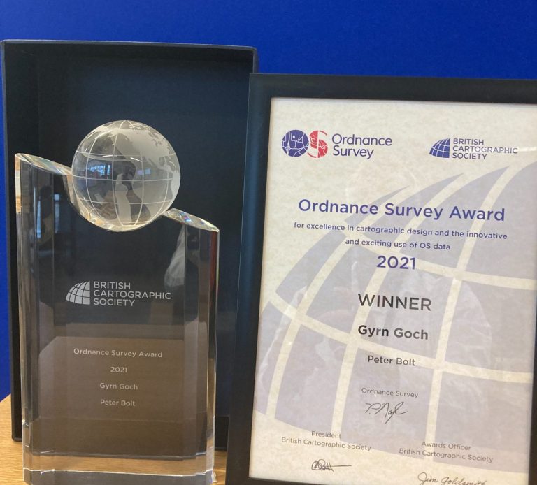
I was extremely please to be recognised by the British Cartographic Society in September 2021 when I was presented with the Ordnance Survey Award for excellence in cartographic design and the innovative and exciting use of OS data.
" I am just writing to say thank you for the relief map you created for us at North Lincolnshire Museum. I am sure it will work well for us in the learning team to help small groups and individuals understand how to read the contours and lay of the land, and aid in their understanding of the wealth of knowledge that a map can provide. Thank you again for a lovely, quality piece of work, which I look forward to being able to use in my workshops"


Small Business Sunday Winner

We need your consent to load the translations
We use a third-party service to translate the website content that may collect data about your activity. Please review the details in the privacy policy and accept the service to view the translations.
